



Naranjo de Bulnes
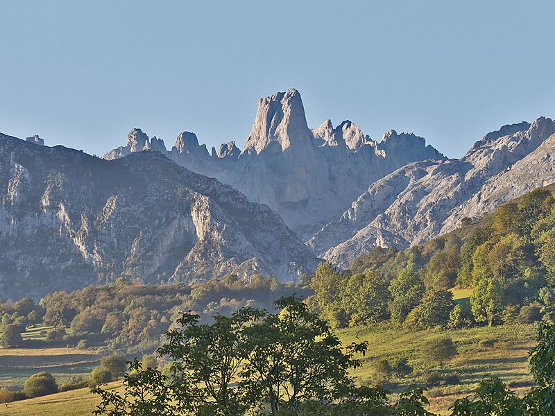
The Naranjo de Bulnes is a limestone peak dating from the Paleozoic Era, located in the Macizo Central region of the Picos de Europa,… 阅读更多…


Naranjo de Bulnes – 添加到您的旅行
创建详细的旅行行程,提供智能路线规划、耗时预估以及完美旅行所需的一切。




The Naranjo de Bulnes is a limestone peak dating from the Paleozoic Era, located in the Macizo Central region of the Picos de Europa, Asturias. Its name Picu Urriellu is believed to be derived from the term Los Urrieles, which is used to describe the Macizo Central. Naranjo de Bulnes is part of the Cabrales region of Asturias, and lies within the Picos de Europa National Park.
The first written reference to "Picu Urriellu" as "Naranjo de Bulnes" is credited to the German geologist and engineer, Wilhelm Schulz, who, in 1855, published the first topographic and geological map of Asturias. As far as is known the etymology of this name is not clear, because, historically, the local inhabitants always referred to the mountain as "Picu Urriellu".
Source: Wikipedia
更多信息与联系方式
Naranjo de Bulnes – 添加到您的旅行
创建详细的旅行行程,提供智能路线规划、耗时预估以及完美旅行所需的一切。

