
Boca Chica State Park
Boca Chica is an area on the eastern portion of a subdelta peninsula of Cameron County, at the far south of the US State of Texas along the… 了解更多…


Boca Chica State Park – 添加到你的旅行
创建详细的旅行行程,包含智能路线、时间预估,以及你打造完美旅行所需的一切。




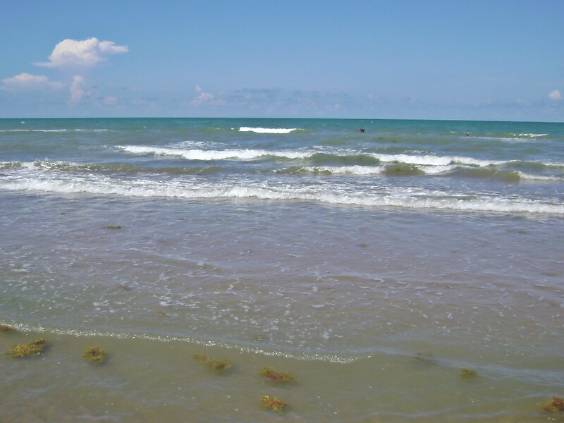
Boca Chica is an area on the eastern portion of a subdelta peninsula of Cameron County, at the far south of the US State of Texas along the Gulf Coast. It is bordered by the Brownsville Ship Channel to the north, the Rio Grande and Mexico to the south, and the Gulf of Mexico to the east. The area extends about 25 miles east of the city of Brownsville. The peninsula is served by Texas State Highway 4—also known as the Boca Chica Highway, or Boca Chica Boulevard within Brownsville city limits—which runs east–west, terminating at the Gulf and Boca Chica Beach.
The Boca Chica area has seen various developments over the course of its history. These include Mexican land grants, Mexican and American ranches, a battlefield of the American Civil War, a 1920s beach resort, and a state park; additionally, a small settlement named Boca Chica Village existed in the area from 1960 to 2020.
Source: Wikipedia
更多信息与联系方式
Boca Chica State Park – 添加到你的旅行
创建详细的旅行行程,包含智能路线、时间预估,以及你打造完美旅行所需的一切。