
Hjálparfoss
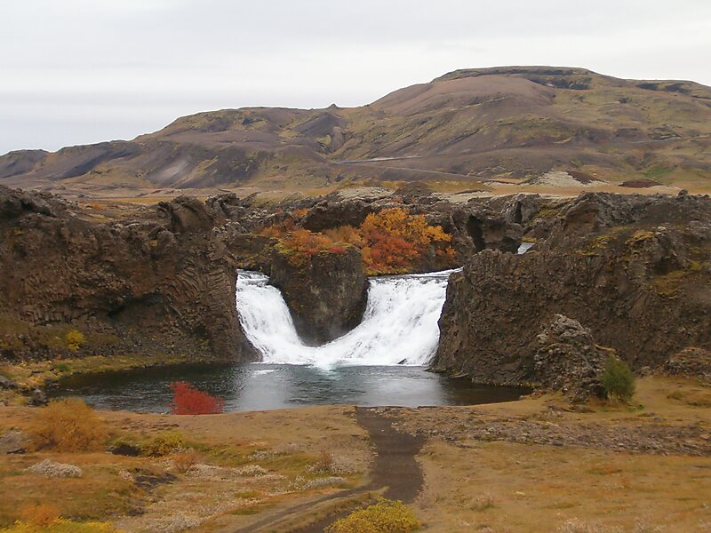
Hjálparfoss is one of several waterfalls in the south of Iceland situated in the lava fields north of the stratovolcano Hekla near the… 了解更多…


Hjálparfoss – 添加到你的旅行
创建详细的旅行行程,包含智能路线、时间预估,以及你打造完美旅行所需的一切。




Hjálparfoss is one of several waterfalls in the south of Iceland situated in the lava fields north of the stratovolcano Hekla near the point where the rivers Fossá and Þjórsá join. Hjálparfoss is located about 30 kilometres east of the village Flúðir and can be reached by a gravel road off Route 32 that winds through the Vikrar lava fields. About 5 kilometres south of Hjálparfoss lies Þjófafoss; further east are Háifoss on the Fossá and Tangafoss on the Þjórsá.
Just downstream from Hjálparfoss is Iceland's second-largest hydroelectric power station, Búrfellsstöð.
Source: Wikipedia
更多信息与联系方式
导览与活动
Hjálparfoss – 添加到你的旅行
创建详细的旅行行程,包含智能路线、时间预估,以及你打造完美旅行所需的一切。

