



Studniční hora
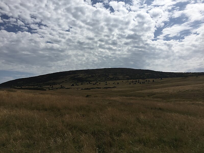
Third-highest peak in the country reaching an altitude of 1,555 meters, characterized by a flat rounded summit and steep slopes with glacial cirques. It is a highly protected habitat for endangered flora and fauna situated within the first zone of the national park. 阅读更多…
门票
Access to the summit is prohibited; only surrounding trails are accessible


Studniční hora – 添加到您的旅行
创建详细的旅行行程,提供智能路线规划、耗时预估以及完美旅行所需的一切。




Standing at 1,555 meters, this mountain is the third-highest peak in the range. It features a distinctive flat, rounded summit and steep slopes that have formed glacial cirques and active avalanche paths.
The area is located within the first zone of the national park, marking it as a strictly protected habitat. It is known for its significant botanical diversity and serves as a sanctuary for endangered species of flora and fauna.
A notable landmark on the southern slope is a specific snowfield known as the 'Map of the Republic'. This feature is a characteristic element of the landscape, which also includes various glacial landforms.
更多信息与联系方式
Studniční hora – 添加到您的旅行
创建详细的旅行行程,提供智能路线规划、耗时预估以及完美旅行所需的一切。

