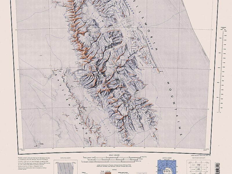
Tripomatic

Vinson Massif

Vinson Massif () is a large mountain massif in Antarctica that is 21 km long and 13 km wide and lies within the Sentinel Range of the… Read more…

peak
Vinson Massif
United States Department of the Geological Survey / Public domain
Riverside Hotel
Taxi · 8 min
Vinson Massif
2h
Walk · 6 min
Corner Café
45 min
Walk · 18 min
Riverside Hotel

Add Vinson Massif to Your Trip

Create a detailed travel itinerary with smart routing, time estimates, and everything you need for a perfect trip.

3M+ downloads · 4.6 stars · 15 years of trip planning
QR code
Scan to download the app

Vinson Massif () is a large mountain massif in Antarctica that is 21 km long and 13 km wide and lies within the Sentinel Range of the Ellsworth Mountains. It overlooks the Ronne Ice Shelf near the base of the Antarctic Peninsula. The massif is located about 1,200 kilometres from the South Pole. Vinson Massif was discovered in January 1958 by U.S. Navy aircraft. In 1961, the Vinson Massif was named by the Advisory Committee on Antarctic Names, after Carl G. Vinson, United States congressman from the state of Georgia, for his support for Antarctic exploration. On 1 November 2006, US-ACAN declared Mount Vinson and Vinson Massif to be separate entities. Vinson Massif lies within the unrecognised Chilean claim under the Antarctic Treaty System.

Mount Vinson is the highest peak in Antarctica, at 4,892 metres. It lies in the north part of Vinson Massif's summit plateau in the south portion of the main ridge of the Sentinel Range about 2 kilometres north of Hollister Peak.

Source: Wikipedia

More Information and Contact

Coordinates 78°31'31.434" S, 85°37'2.603" W
Riverside Hotel
Taxi · 8 min
Vinson Massif
2h
Walk · 6 min
Corner Café
45 min
Walk · 18 min
Riverside Hotel

Add Vinson Massif to Your Trip

Create a detailed travel itinerary with smart routing, time estimates, and everything you need for a perfect trip.

3M+ downloads · 4.6 stars · 15 years of trip planning
QR code
Scan to download the app

More interesting places