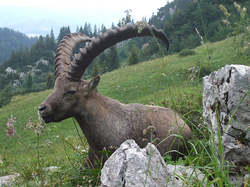
Tripomatic

Benediktenwand

The Benediktenwand is a 1,800-metre-high mountain ridge in the Bavarian Prealps between the rivers Loisach and Isar and the Jachenau in the… Read more…

peak
Riverside Hotel
Taxi · 8 min
Benediktenwand
2h
Walk · 6 min
Corner Café
45 min
Walk · 18 min
Riverside Hotel

Add Benediktenwand to Your Trip

Create a detailed travel itinerary with smart routing, time estimates, and everything you need for a perfect trip.

3M+ downloads · 4.6 stars · 15 years of trip planning
QR code
Scan to download the app

The Benediktenwand is a 1,800-metre-high mountain ridge in the Bavarian Prealps between the rivers Loisach and Isar and the Jachenau in the south and Benediktbeuern Abbey, from which it derives its name, in the north. Immediately below the North Face of the Benediktenwand is the Tutzinger Hut.

During the Würm glaciation, the summit of the Benediktenwand towered about 600 metres above the ice stream of the Walchensee and Isar Glaciers.

Source: Wikipedia

More Information and Contact

Address 83671, Germany
Coordinates 47°39'11.42" N, 11°27'55.957" E
Riverside Hotel
Taxi · 8 min
Benediktenwand
2h
Walk · 6 min
Corner Café
45 min
Walk · 18 min
Riverside Hotel

Add Benediktenwand to Your Trip

Create a detailed travel itinerary with smart routing, time estimates, and everything you need for a perfect trip.

3M+ downloads · 4.6 stars · 15 years of trip planning
QR code
Scan to download the app

More interesting places