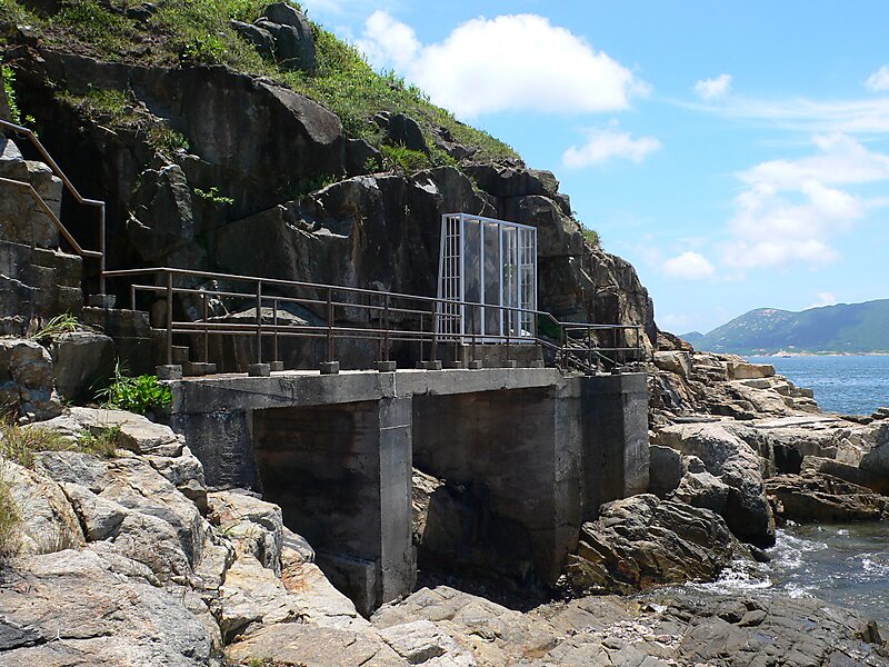
Tripomatic

Tung Lung Chau Prehistoric Stone Carving

Tung Lung Chau, previously known as Nam Tong Island or Nam Fat Tong is an island located off the tip of the Clear Water Bay Peninsula in… Read more…

Riverside Hotel
Taxi · 8 min
Tung Lung Chau Prehistoric Stone Carving
2h
Walk · 6 min
Corner Café
45 min
Walk · 18 min
Riverside Hotel

Add Tung Lung Chau Prehistoric Stone Carving to Your Trip

Create a detailed travel itinerary with smart routing, time estimates, and everything you need for a perfect trip.

3M+ downloads · 4.6 stars · 15 years of trip planning
QR code
Scan to download the app

Tung Lung Chau, previously known as Nam Tong Island or Nam Fat Tong is an island located off the tip of the Clear Water Bay Peninsula in the New Territories of Hong Kong. It is also referred to by Hong Kong people as Tung Lung To or Tung Lung Island. The island is largely uninhabited. Administratively, it belongs to Sai Kung District.

Source: Wikipedia

More Information and Contact

Address Hong Kong SAR China
Coordinates 22°15'6.028" N, 114°17'4.002" E
Riverside Hotel
Taxi · 8 min
Tung Lung Chau Prehistoric Stone Carving
2h
Walk · 6 min
Corner Café
45 min
Walk · 18 min
Riverside Hotel

Add Tung Lung Chau Prehistoric Stone Carving to Your Trip

Create a detailed travel itinerary with smart routing, time estimates, and everything you need for a perfect trip.

3M+ downloads · 4.6 stars · 15 years of trip planning
QR code
Scan to download the app

More interesting places