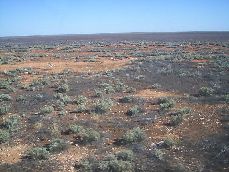
Tripomatic

Nullarbor Plain

The Nullarbor Plain is part of the area of flat, almost treeless, arid or semi-arid country of southern Australia, located on the Great… Read more…

Riverside Hotel
Taxi · 8 min
Nullarbor Plain
2h
Walk · 6 min
Corner Café
45 min
Walk · 18 min
Riverside Hotel

Add Nullarbor Plain to Your Trip

Create a detailed travel itinerary with smart routing, time estimates, and everything you need for a perfect trip.

3M+ downloads · 4.6 stars · 15 years of trip planning
QR code
Scan to download the app

The Nullarbor Plain is part of the area of flat, almost treeless, arid or semi-arid country of southern Australia, located on the Great Australian Bight coast with the Great Victoria Desert to its north. It is the world's largest single exposure of limestone bedrock, and occupies an area of about 200,000 square kilometres. At its widest point, it stretches about 1,100 kilometres from east to west across the border between South Australia and Western Australia.

Source: Wikipedia

More Information and Contact

Address 6434, Australia
Coordinates 31°21'0" S, 128°54'0" E
Riverside Hotel
Taxi · 8 min
Nullarbor Plain
2h
Walk · 6 min
Corner Café
45 min
Walk · 18 min
Riverside Hotel

Add Nullarbor Plain to Your Trip

Create a detailed travel itinerary with smart routing, time estimates, and everything you need for a perfect trip.

3M+ downloads · 4.6 stars · 15 years of trip planning
QR code
Scan to download the app

More interesting places