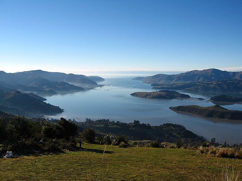
Tripomatic

Lyttelton Harbour/Whakaraupō

Lyttelton Harbour / Whakaraupō is a major inlet on the northwest side of Banks Peninsula, on the coast of Canterbury, New Zealand; the… Read more…

bay
Riverside Hotel
Taxi · 8 min
Lyttelton Harbour/Whakaraupō
2h
Walk · 6 min
Corner Café
45 min
Walk · 18 min
Riverside Hotel

Add Lyttelton Harbour/Whakaraupō to Your Trip

Create a detailed travel itinerary with smart routing, time estimates, and everything you need for a perfect trip.

3M+ downloads · 4.6 stars · 15 years of trip planning
QR code
Scan to download the app

Lyttelton Harbour / Whakaraupō is a major inlet on the northwest side of Banks Peninsula, on the coast of Canterbury, New Zealand; the other major inlet is Akaroa Harbour, which enters from the southern side of the peninsula. Whakaraupō enters from the northern coast of the peninsula, heading in a predominantly westerly direction for approximately 15 km from its mouth to the aptly-named Head of the Bay near Teddington. The harbour sits in an eroded caldera of the ancient Banks Peninsula Volcano, the steep sides of which form the Port Hills on its northern shore.The harbour's main population centre is Lyttelton, which serves the main port to the nearby city of Christchurch, linked with Christchurch by the single-track Lyttelton rail tunnel, a two lane road tunnel and…

Source: Wikipedia

More Information and Contact

Address Diamond Harbour to Quail Island Scenic Boats, New Zealand
Coordinates 43°37'16.649" S, 172°43'34.003" E
Riverside Hotel
Taxi · 8 min
Lyttelton Harbour/Whakaraupō
2h
Walk · 6 min
Corner Café
45 min
Walk · 18 min
Riverside Hotel

Add Lyttelton Harbour/Whakaraupō to Your Trip

Create a detailed travel itinerary with smart routing, time estimates, and everything you need for a perfect trip.

3M+ downloads · 4.6 stars · 15 years of trip planning
QR code
Scan to download the app

More interesting places