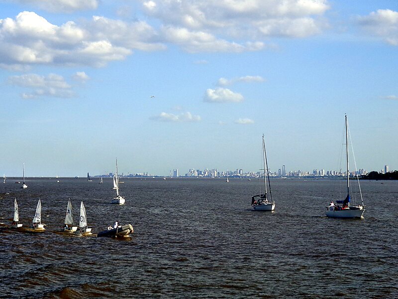
Tripomatic

Río de la Plata

The Río de la Plata, called River Plate in British English and the Commonwealth and La Plata River in other English-speaking countries, is… Read more…

river
Riverside Hotel
Taxi · 8 min
Río de la Plata
2h
Walk · 6 min
Corner Café
45 min
Walk · 18 min
Riverside Hotel

Add Río de la Plata to Your Trip

Create a detailed travel itinerary with smart routing, time estimates, and everything you need for a perfect trip.

3M+ downloads · 4.6 stars · 15 years of trip planning
QR code
Scan to download the app

The Río de la Plata, called River Plate in British English and the Commonwealth and La Plata River in other English-speaking countries, is the estuary formed by the confluence of the Uruguay River and the Paraná River at Punta Gorda. It empties into the Atlantic Ocean and forms a funnel-shaped indentation on the southeastern coastline of South America. Depending on the geographer, the Río de la Plata may be considered a river, an estuary, a gulf, or a marginal sea. If considered a river, it is the widest in the world, with a maximum width of 220 kilometres.

Source: Wikipedia

More Information and Contact

Address Argentina
Coordinates 35°11'33.676" S, 56°45'51.151" W
Riverside Hotel
Taxi · 8 min
Río de la Plata
2h
Walk · 6 min
Corner Café
45 min
Walk · 18 min
Riverside Hotel

Add Río de la Plata to Your Trip

Create a detailed travel itinerary with smart routing, time estimates, and everything you need for a perfect trip.

3M+ downloads · 4.6 stars · 15 years of trip planning
QR code
Scan to download the app

More interesting places