Cotswald Way
Bath and North East Somerset, 🇬🇧 United Kingdom
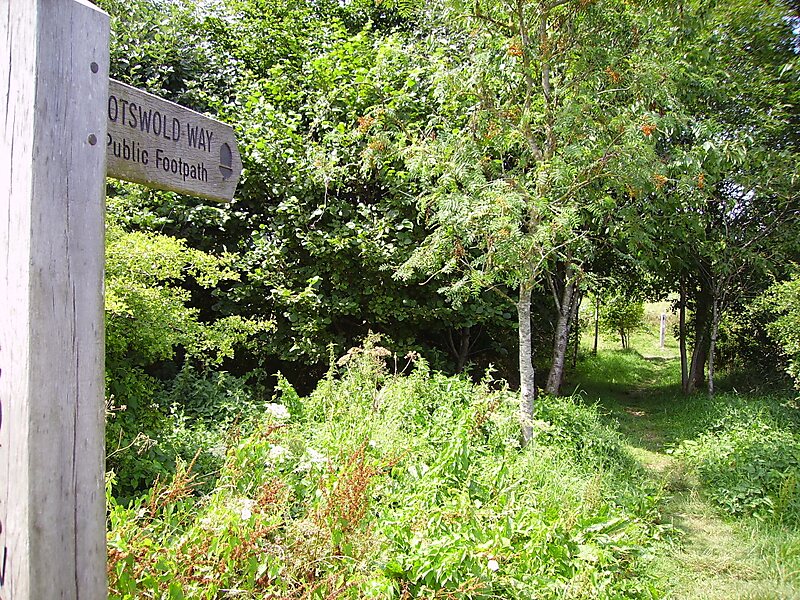
The Cotswold Way is a 102-mile long-distance footpath, running along the Cotswold Edge escarpment of the Cotswold Hills in England.
trailhiking & camping

Riverside Hotel

Cotswald Way
2h

Corner Café
45 min
Riverside Hotel
Add Cotswald Way to Your Trip
Create a detailed travel itinerary with smart routing, time estimates, and everything you need for a perfect trip.
3M+ downloads · 4.6 stars · 15 years of trip planning


More Information and Contact
Wikipedia en.wikipedia.org/wiki/Cotswold_Way
Official website www.nationaltrail.co.uk/cotswold-way/plan
Wikipedia en.wikipedia.org/wiki/Cotswold_Way
Address Weston Park West, Bath BA1 4AR, United Kingdom
Coordinates 51°23'41.089" N, 2°22'51.431" W
Riverside Hotel
Cotswald Way
2h
Corner Café
45 min
Riverside Hotel
Add Cotswald Way to Your Trip
Create a detailed travel itinerary with smart routing, time estimates, and everything you need for a perfect trip.
3M+ downloads · 4.6 stars · 15 years of trip planning