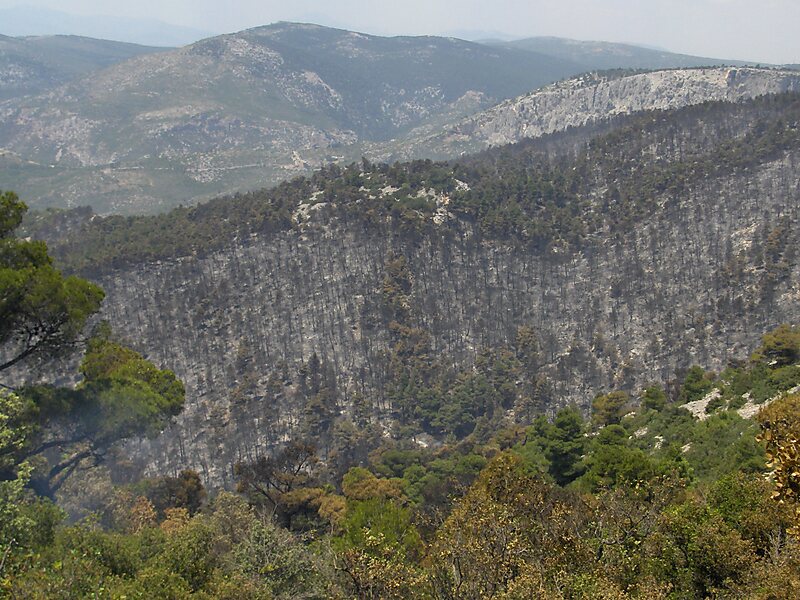
Tripomatic

Parnitha National Park

Mount Parnitha is a densely forested mountain range north of Athens, the highest on the peninsula of Attica, with an elevation of 1,413 m,… Read more…

Riverside Hotel
Taxi · 8 min
Parnitha National Park
2h
Walk · 6 min
Corner Café
45 min
Walk · 18 min
Riverside Hotel

Add Parnitha National Park to Your Trip

Create a detailed travel itinerary with smart routing, time estimates, and everything you need for a perfect trip.

3M+ downloads · 4.6 stars · 15 years of trip planning
QR code
Scan to download the app

Mount Parnitha is a densely forested mountain range north of Athens, the highest on the peninsula of Attica, with an elevation of 1,413 m, and a summit known as Karavola. Much of the mountain is designated a national park, and is a protected habitat for wildfowl, first created in 1961. The summit is located 18 km north of Acharnes and about 30 km north of the Athens city center. The mountain covers approximately 250 km² of land. Other peaks include Mavrovouni, Ornio, Area, Avgo or Avgho, and Xerovouni. It also has two shelters Mpafi and Flampouri. The name of the mountain dates back to ancient times, when it was under the ancient demes of Acharnae and Decelea.

Source: Wikipedia

More Information and Contact

Wikipedia article en.wikipedia.org/wiki/Parnitha
Address 13600, Greece
Coordinates 38°9'24.109" N, 23°43'22.498" E
Riverside Hotel
Taxi · 8 min
Parnitha National Park
2h
Walk · 6 min
Corner Café
45 min
Walk · 18 min
Riverside Hotel

Add Parnitha National Park to Your Trip

Create a detailed travel itinerary with smart routing, time estimates, and everything you need for a perfect trip.

3M+ downloads · 4.6 stars · 15 years of trip planning
QR code
Scan to download the app

More interesting places