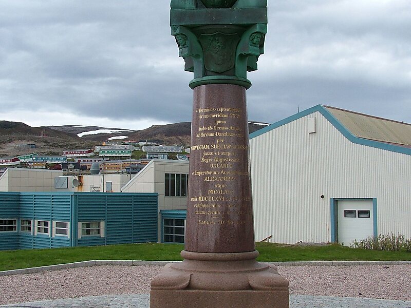
Tripomatic

Struve Geodetic Arc

The Struve Geodetic Arc is a chain of survey triangulations stretching from Hammerfest in Norway to the Black Sea, through ten countries… Read more…

view pointunescoheritage
Struve Geodetic Arc
Clemensfranz / CC-BY-SA-3.0
Riverside Hotel
Taxi · 8 min
Struve Geodetic Arc
2h
Walk · 6 min
Corner Café
45 min
Walk · 18 min
Riverside Hotel

Add Struve Geodetic Arc to Your Trip

Create a detailed travel itinerary with smart routing, time estimates, and everything you need for a perfect trip.

3M+ downloads · 4.6 stars · 15 years of trip planning
QR code
Scan to download the app

The Struve Geodetic Arc is a chain of survey triangulations stretching from Hammerfest in Norway to the Black Sea, through ten countries and over 2,820 kilometres, which yielded the first accurate measurement of a meridian arc.

The chain was established and used by the German-born Russian scientist Friedrich Georg Wilhelm von Struve in the years 1816 to 1855 to establish the exact size and shape of the earth. At that time, the chain passed merely through three countries: Norway, Sweden and the Russian Empire. The Arc's first point is located in Tartu Observatory in Estonia, where Struve conducted much of his research. Measurement of the triangulation chain comprises 258 main triangles and 265 geodetic vertices. The northernmost point is located near Hammerfest in Norway and the southernmost point near the Black Sea in Ukraine.

Source: Wikipedia

More Information and Contact

Address 07820, Finland
Coordinates 60°42'17.379" N, 26°0'11.629" E
Riverside Hotel
Taxi · 8 min
Struve Geodetic Arc
2h
Walk · 6 min
Corner Café
45 min
Walk · 18 min
Riverside Hotel

Add Struve Geodetic Arc to Your Trip

Create a detailed travel itinerary with smart routing, time estimates, and everything you need for a perfect trip.

3M+ downloads · 4.6 stars · 15 years of trip planning
QR code
Scan to download the app

More interesting places