富马约洛山
富马约洛山 为意大利亚平宁山脉的一座山峰,位于艾米利亚-罗马涅大区最南端,与托斯卡纳大区交界之处,距小城切塞纳约70千米,海拔1,407米 。自山上可俯瞰Balze di Verghereto、巴尼奥… 了解更多…
peak

Riverside Hotel

富马约洛山
2h

Corner Café
45 min
Riverside Hotel


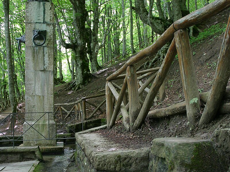
富马约洛山 为意大利亚平宁山脉的一座山峰,位于艾米利亚-罗马涅大区最南端,与托斯卡纳大区交界之处,距小城切塞纳约70千米,海拔1,407米 。自山上可俯瞰Balze di Verghereto、巴尼奥-迪罗马涅以及韦尔盖雷托。另外山上覆盖有冷杉属及水青冈属森林。富马约洛山还以台伯河及萨维奥河之源头而知名。
Source: Wikipedia
更多信息与联系方式
Wikipedia en.wikipedia.org/wiki/Mount_Fumaiolo
地址 47028, Italy
坐标 43°47'17.569" N, 12°4'11.716" E
Riverside Hotel
富马约洛山
2h
Corner Café
45 min
Riverside Hotel