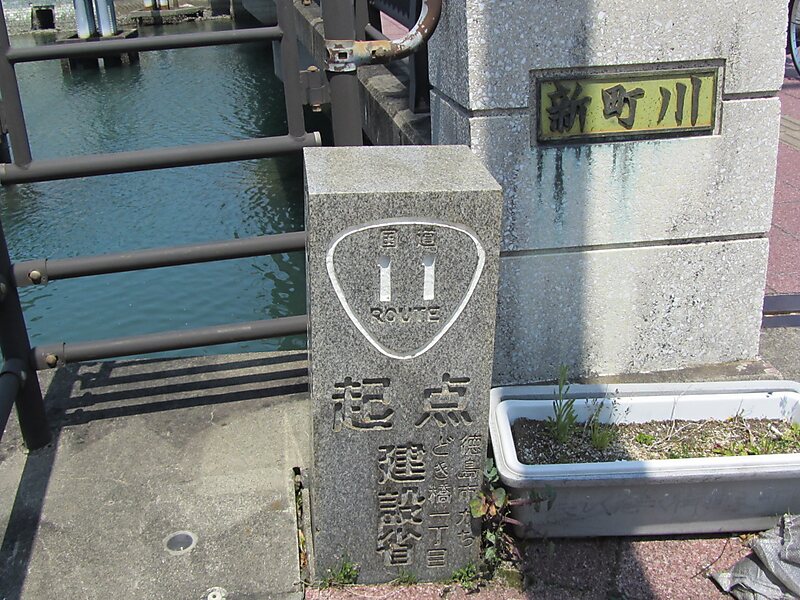
Tripomatic

Japan National Route 11

National Route 11 is a Japanese highway on the island of Shikoku. The most important artery in Shikoku, it originates at the intersection… Read more…

one waybridge
Riverside Hotel
Taxi · 8 min
Japan National Route 11
2h
Walk · 6 min
Corner Café
45 min
Walk · 18 min
Riverside Hotel

Add Japan National Route 11 to Your Trip

Create a detailed travel itinerary with smart routing, time estimates, and everything you need for a perfect trip.

3M+ downloads · 4.6 stars · 15 years of trip planning
QR code
Scan to download the app

National Route 11 is a Japanese highway on the island of Shikoku. The most important artery in Shikoku, it originates at the intersection with Routes 28, 55 and 195 in the prefectural capital of Tokushima and terminates at the intersection with Routes 33, 56, 317, 379, 440 and 494 in Matsuyama. Between the terminals, it passes through Naruto and Takamatsu, as well as other regional population centers. Route 11 measures 239.4 km in length.

Source: Wikipedia

More Information and Contact

Address (Unnamed Road), Japan
Coordinates 34°18'45.818" N, 133°53'30.23" E
Riverside Hotel
Taxi · 8 min
Japan National Route 11
2h
Walk · 6 min
Corner Café
45 min
Walk · 18 min
Riverside Hotel

Add Japan National Route 11 to Your Trip

Create a detailed travel itinerary with smart routing, time estimates, and everything you need for a perfect trip.

3M+ downloads · 4.6 stars · 15 years of trip planning
QR code
Scan to download the app

More interesting places