Alarmstange
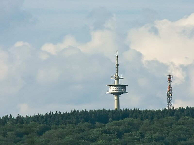
The Alarmstange, at 545.2 m above sea level, is the highest point in the Montabaur Heights, a hill ride on the southwestern edge of the… Read more…


Add Alarmstange to Your Trip
Create a detailed travel itinerary with smart routing, time estimates, and everything you need for a perfect trip.


The Alarmstange, at 545.2 m above sea level, is the highest point in the Montabaur Heights, a hill ride on the southwestern edge of the Westerwald. It lies near Horressen in the county of Westerwaldkreis in the German state of Rhineland-Palatinate. Together with the Köppel and the Lippersberg, the Alarmstange forms the centre of the ridge, on which is the largest contiguous woodland area in the Westerwald.
Source: Wikipedia
More Information and Contact
Add Alarmstange to Your Trip
Create a detailed travel itinerary with smart routing, time estimates, and everything you need for a perfect trip.