Breitenberg
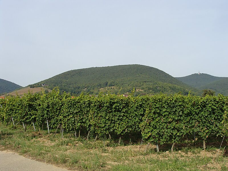
The Breitenberg near Sankt Martin in the Rhineland-Palatinate county of Südliche Weinstraße is a hill, 545.2 m above sea level, and subpeak… Read more…
peak

Riverside Hotel

Breitenberg
2h

Corner Café
45 min
Riverside Hotel
Add Breitenberg to Your Trip
Create a detailed travel itinerary with smart routing, time estimates, and everything you need for a perfect trip.
3M+ downloads · 4.6 stars · 15 years of trip planning


The Breitenberg near Sankt Martin in the Rhineland-Palatinate county of Südliche Weinstraße is a hill, 545.2 m above sea level, and subpeak of the Kalmit, the highest mountain in the Palatinate Forest. It is part of the Haardt mountains.
Source: Wikipedia
More Information and Contact
Address 67487, Germany
Coordinates 49°18'32.711" N, 8°5'23.635" E
Riverside Hotel
Breitenberg
2h
Corner Café
45 min
Riverside Hotel
Add Breitenberg to Your Trip
Create a detailed travel itinerary with smart routing, time estimates, and everything you need for a perfect trip.
3M+ downloads · 4.6 stars · 15 years of trip planning