C.M. Recto Avenue
Claro M. Recto Avenue, more popularly known as simply Recto Avenue, is the principal commercial thoroughfare in north-central Manila,… Read more…


Add C.M. Recto Avenue to Your Trip
Create a detailed travel itinerary with smart routing, time estimates, and everything you need for a perfect trip.


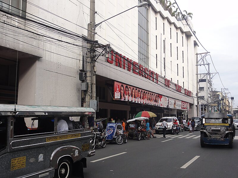
Claro M. Recto Avenue, more popularly known as simply Recto Avenue, is the principal commercial thoroughfare in north-central Manila, Philippines. It spans seven districts just north of the Pasig River in what is generally considered Manila's old downtown area.
Recto's western terminus is at an intersection with Mel Lopez Boulevard at the district boundaries of Tondo and San Nicolas close to the Manila North Harbor. It runs northeast before curving to the east at Juan Luna Street and Estero de Binondo. It then passes through the Divisoria shopping area of Manila south of the Tutuban railway station until it curves southeast past the A. Rivera Street junction. East of Rizal Avenue and Santa Cruz district, Recto intersects with the streets of the University Belt area of Quiapo and Sampaloc before terminating at Legarda Street and Mendiola Street at the district boundaries of Quiapo and Sampaloc.
Source: Wikipedia
More Information and Contact
Add C.M. Recto Avenue to Your Trip
Create a detailed travel itinerary with smart routing, time estimates, and everything you need for a perfect trip.