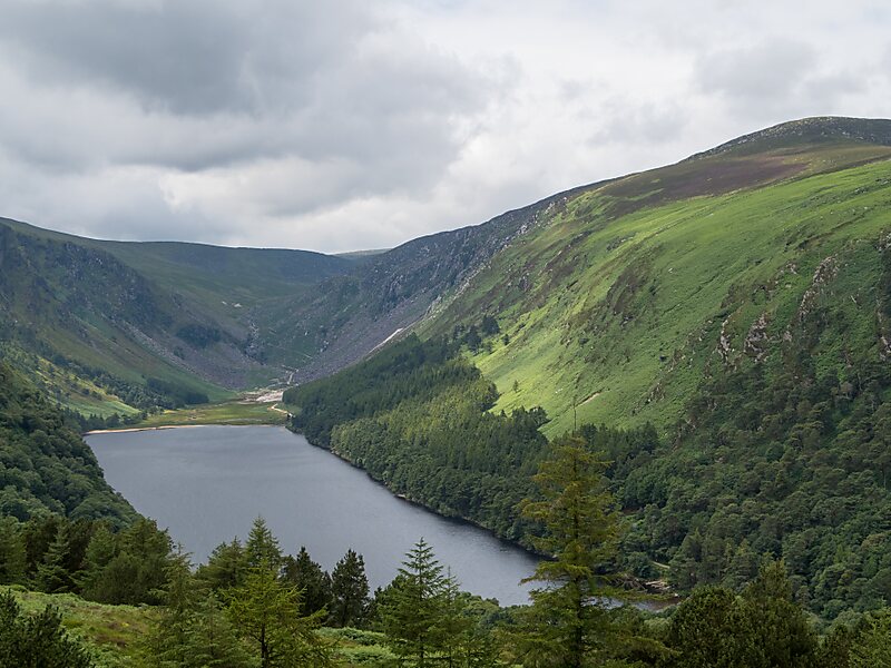
Camaderry at 699 metres, is the 90th-highest peak in Ireland on the Arderin scale, and the 112th-highest peak on the Vandeleur-Lynam scale. Camaderry is situated in the southern sector of the Wicklow Mountains range, and forms a broad horseshoe around the valley of Glendalough with the hydroelectric station at Turlough Hill 681 metres, and the mountains of Conavalla 734 metres, and Lugduff 652 metres. Camaderry has a subsidiary summit, Camaderry South East Top 677 metres, and both lie across the deep Wicklow Gap from Tonelagee 817 metres, which sits on the "central spine" of the Wicklow range.
Download Download See more
Wikipedia https://en.wikipedia.org/wiki/Camaderry
Address Ireland
Coordinates 53°1'21.995" N -6°23'19.572" E