Cold War defence boom, Pig's Bay, Shoeburyness
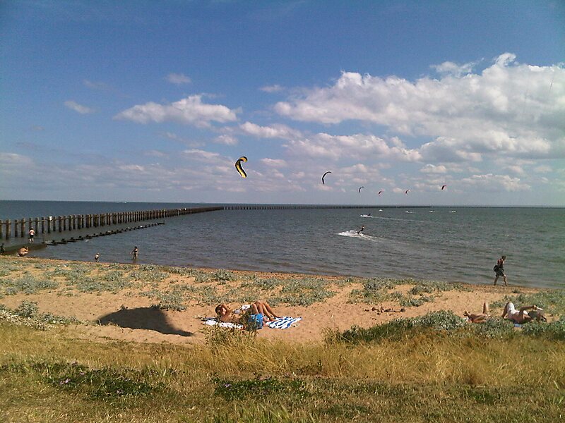
The Shoeburyness Boom refers to two successive defensive barriers across most of the Thames Estuary in the mid-20th century.
heritage

Riverside Hotel

Cold War defence boom, Pig's Bay, Shoeburyness
2h

Corner Café
45 min
Riverside Hotel
Add Cold War defence boom, Pig's Bay, Shoeburyness to Your Trip
Create a detailed travel itinerary with smart routing, time estimates, and everything you need for a perfect trip.
3M+ downloads · 4.6 stars · 15 years of trip planning


More Information and Contact
Wikipedia en.wikipedia.org/wiki/Shoeburyness_Boom
Coordinates 51°31'33.877" N, 0°48'52.643" E
Riverside Hotel
Cold War defence boom, Pig's Bay, Shoeburyness
2h
Corner Café
45 min
Riverside Hotel
Add Cold War defence boom, Pig's Bay, Shoeburyness to Your Trip
Create a detailed travel itinerary with smart routing, time estimates, and everything you need for a perfect trip.
3M+ downloads · 4.6 stars · 15 years of trip planning