Fortaleza de Santa Teresa
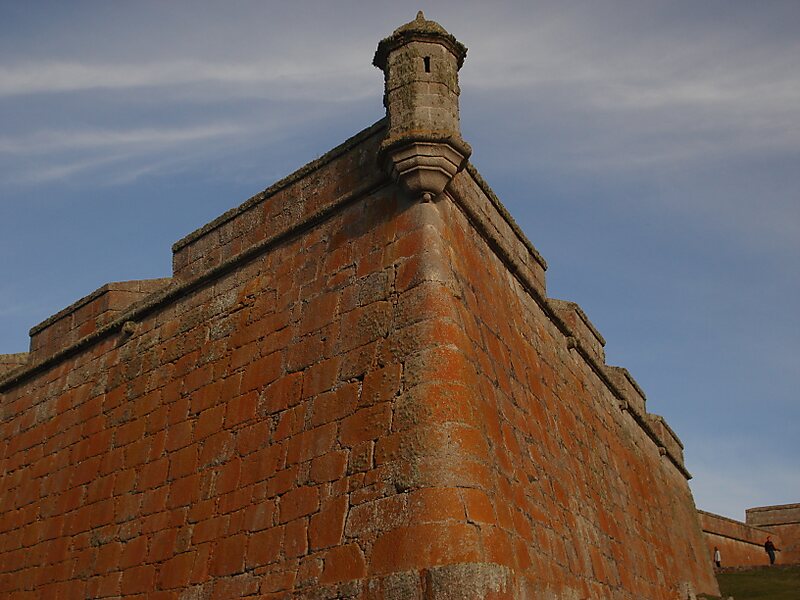
The Fortaleza de Santa Teresa, or Fortaleza Santa Tereza is a military fortification located 36 km south of Chuy and 305 km northeast of… Read more…


Add Fortaleza de Santa Teresa to Your Trip
Create a detailed travel itinerary with smart routing, time estimates, and everything you need for a perfect trip.


The Fortaleza de Santa Teresa, or Fortaleza Santa Tereza is a military fortification located 36 km south of Chuy and 305 km northeast of Montevideo on Route 9, in the Rocha Department of eastern Uruguay. It lies about 800 m from the coast at Playa la Moza, almost halfway between Angostura and La Coronilla,
north of Punta del Diablo and roughly 4 km northeast of the northeast bank of the Laguna Negra. It lies within the Santa Teresa National Park. It was erected from October 1762 by the Portuguese, having abandoned the attempt at building a fort in Maldonado and leaving the Fuerte San Miguel.
Source: Wikipedia
More Information and Contact
Add Fortaleza de Santa Teresa to Your Trip
Create a detailed travel itinerary with smart routing, time estimates, and everything you need for a perfect trip.