Großer Gleichberg
At 679 m above sea level, the Großer Gleichberg is the higher of the two adjacent mountaintops known as the Gleichberge east of Römhild in… Read more…


Add Großer Gleichberg to Your Trip
Create a detailed travel itinerary with smart routing, time estimates, and everything you need for a perfect trip.


At 679 m above sea level, the Großer Gleichberg is the higher of the two adjacent mountaintops known as the Gleichberge east of Römhild in the landscape of Grabfeld and the county of Hildburghausen in the German state of Thuringia. It was formed in the Tertiary volcanic field of the Heldburger Gangschar and is the highest point today of that formation.
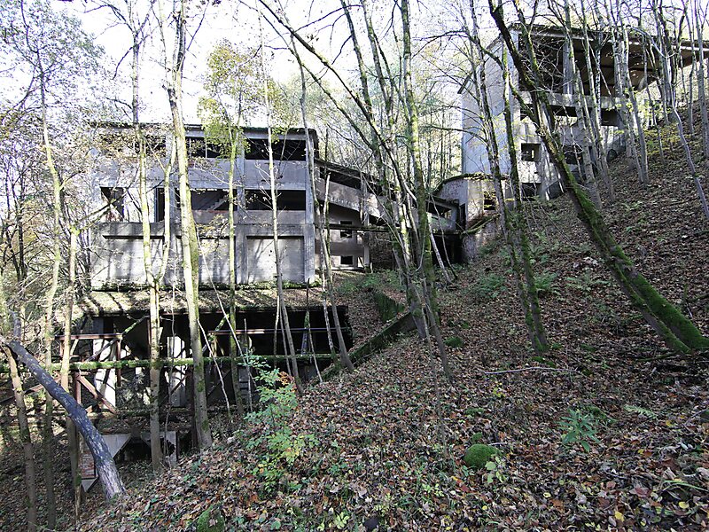
With an isolation of well over 20 kilometres and a prominence of just under 300 metres, the Großer Gleichberg is one of the most striking mountains in Thuringia.In the Cold War period from 1968 to 1991 there was a military out-of-bounds area at the summit with a radio and radar station…
Source: Wikipedia
More Information and Contact
Add Großer Gleichberg to Your Trip
Create a detailed travel itinerary with smart routing, time estimates, and everything you need for a perfect trip.