High Street
High Street is a fell in the English Lake District. At 828 metres, its summit is the highest point in the far eastern part of the national… Read more…
peak

Riverside Hotel

High Street
2h

Corner Café
45 min
Riverside Hotel
Add High Street to Your Trip
Create a detailed travel itinerary with smart routing, time estimates, and everything you need for a perfect trip.
3M+ downloads · 4.6 stars · 15 years of trip planning


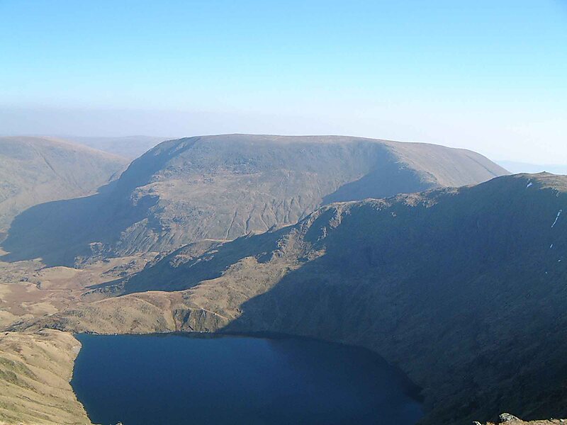
High Street is a fell in the English Lake District. At 828 metres, its summit is the highest point in the far eastern part of the national park. The fell is named after the Roman road that ran over the summit.
Source: Wikipedia
More Information and Contact
Address CA11 0, United Kingdom
Coordinates 54°29'30.038" N, 2°51'53.532" W
Riverside Hotel
High Street
2h
Corner Café
45 min
Riverside Hotel
Add High Street to Your Trip
Create a detailed travel itinerary with smart routing, time estimates, and everything you need for a perfect trip.
3M+ downloads · 4.6 stars · 15 years of trip planning