Hohenberg
The Hohenberg is a 552 m above sea level high hill in the Palatinate Forest, in the municipalities of Birkweiler, Queichhambach and… Read more…
peak

Riverside Hotel

Hohenberg
2h

Corner Café
45 min
Riverside Hotel
Add Hohenberg to Your Trip
Create a detailed travel itinerary with smart routing, time estimates, and everything you need for a perfect trip.
3M+ downloads · 4.6 stars · 15 years of trip planning


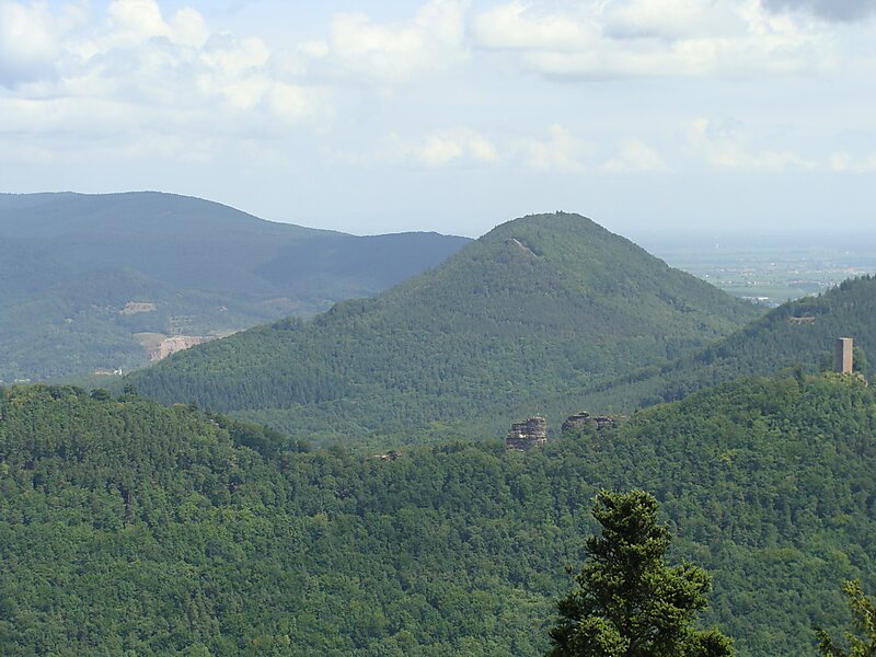
The Hohenberg is a 552 m above sea level high hill in the Palatinate Forest, in the municipalities of Birkweiler, Queichhambach and Siebeldingen. At its summit is an observation tower, a refuge hut and starting ramps for hang gliders.
Source: Wikipedia
More Information and Contact
Wikipedia en.wikipedia.org/wiki/Hohenberg_(Wasgau)
Address (Unnamed Road), 76831, Germany
Coordinates 49°12'9.78" N, 8°0'18.53" E
Riverside Hotel
Hohenberg
2h
Corner Café
45 min
Riverside Hotel
Add Hohenberg to Your Trip
Create a detailed travel itinerary with smart routing, time estimates, and everything you need for a perfect trip.
3M+ downloads · 4.6 stars · 15 years of trip planning