Kinver Edge
Kinver Edge is a high heath and woodland escarpment just west of Kinver, about four miles west of Stourbridge, and four miles north of… Read more…
cliff
Mjr74 / Public domain

Riverside Hotel

Kinver Edge
2h

Corner Café
45 min
Riverside Hotel
Add Kinver Edge to Your Trip
Create a detailed travel itinerary with smart routing, time estimates, and everything you need for a perfect trip.
3M+ downloads · 4.6 stars · 15 years of trip planning


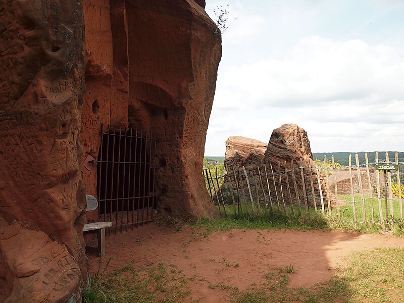
Kinver Edge is a high heath and woodland escarpment just west of Kinver, about four miles west of Stourbridge, and four miles north of Kidderminster, and is on the border between Worcestershire and Staffordshire, England. It is now owned by the National Trust.
Source: Wikipedia
More Information and Contact
Wikipedia en.wikipedia.org/wiki/Kinver_Edge
Official Website www.nationaltrust.org.uk/kinver-edge-and-the-rock-houses
Address DY11 5, United Kingdom
Coordinates 52°26'38.347" N, 2°15'2.194" W
Riverside Hotel
Kinver Edge
2h
Corner Café
45 min
Riverside Hotel
Add Kinver Edge to Your Trip
Create a detailed travel itinerary with smart routing, time estimates, and everything you need for a perfect trip.
3M+ downloads · 4.6 stars · 15 years of trip planning