Köppel
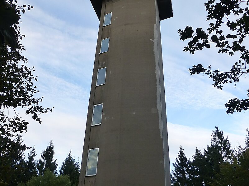
The Köppel, at 540.2 m above sea level, is the second highest point in the Montabaur Heights, an elongated hill ridge in the Lower… Read more…


Add Köppel to Your Trip
Create a detailed travel itinerary with smart routing, time estimates, and everything you need for a perfect trip.


The Köppel, at 540.2 m above sea level, is the second highest point in the Montabaur Heights, an elongated hill ridge in the Lower Westerwald in Germany. It is second only to the nearby Alarmstange and lies on the boundary between Montabaur and Dernbach in the county of Westerwaldkreis in the state of Rhineland-Palatinate. At the summit is the Köppel viewing tower.
Source: Wikipedia
More Information and Contact
Add Köppel to Your Trip
Create a detailed travel itinerary with smart routing, time estimates, and everything you need for a perfect trip.