Curiquinca is a stratovolcano that straddles the border between Bolivia and Chile. It lies immediately E of Cerro Colorado and NE to volcán Escalante, all of which are considered to be part of the Sairecabur volcanic group. The light area behind the mountain is part of a large sulfur deposit, location of the - now abandoned - sulfur mines "Azufrera El Apagado" on the Chilean side and its counterpart "Azufrera Rosita" on the Bolivian side of the border.
Download Download See more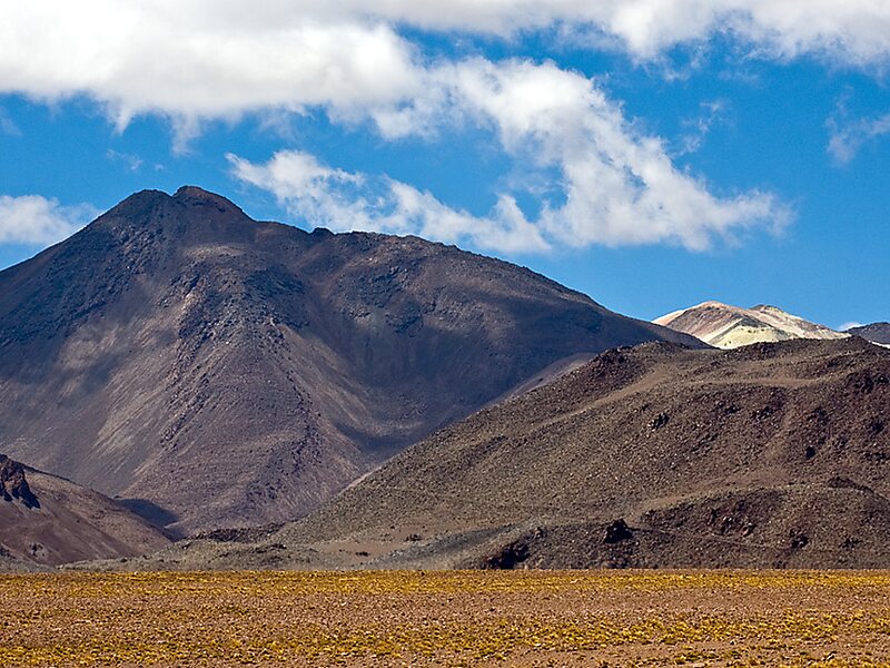
Wikipedia https://en.wikipedia.org/wiki/Curiquinca
Address Bolivia
Coordinates -22°35'47.705" N -67°51'30.034" E
