Mosisberg
The Mosisberg near Hofstätten in the German state of Rhineland-Palatinate is a hill, 608.7 m above sea level, in the central Palatine… Read more…


Add Mosisberg to Your Trip
Create a detailed travel itinerary with smart routing, time estimates, and everything you need for a perfect trip.


The Mosisberg near Hofstätten in the German state of Rhineland-Palatinate is a hill, 608.7 m above sea level, in the central Palatine Forest. It has two domes, the eastern one is the summit and is called Langer Kopf and the western high point is the Preußenstein.
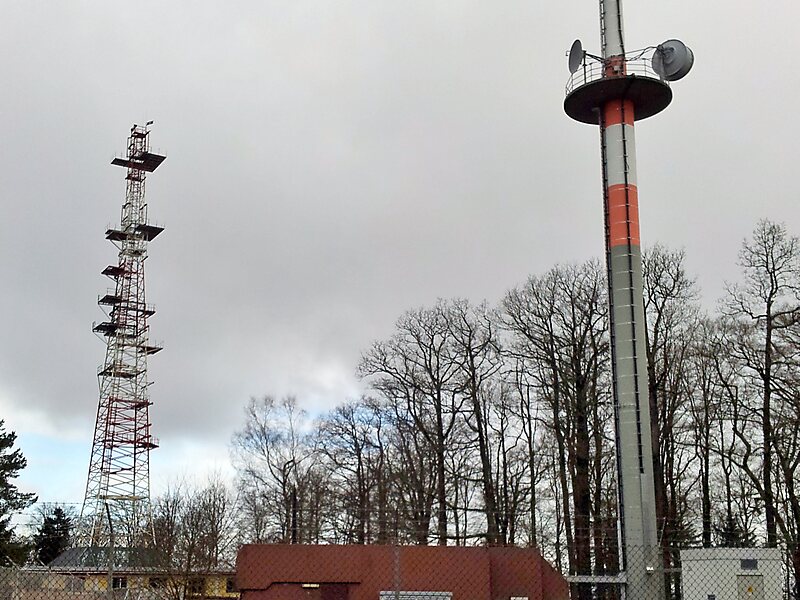
The hill lies on the territory of the hamlet of Hofstätten in the municipality of Wilgartswiesen and is part of the Frankenweide, which is a central massif within the mountain range. On the Langer Kopf there is a former US Air Force radio relay site.
The Mosisberg is the second northernmost of a line of four peaks that exceed 600 m.
Source: Wikipedia
More Information and Contact
Add Mosisberg to Your Trip
Create a detailed travel itinerary with smart routing, time estimates, and everything you need for a perfect trip.