Mount Nuang
Mount Nuang is located in Malaysia with the height of 1,493 metres. Its peak borders Pahang and Selangor state and is close to the Pahang… Read more…


Add Mount Nuang to Your Trip
Create a detailed travel itinerary with smart routing, time estimates, and everything you need for a perfect trip.


Mount Nuang is located in Malaysia with the height of 1,493 metres. Its peak borders Pahang and Selangor state and is close to the Pahang-Selangor-Negeri Sembilan border tripoint. The mountain itself is the second highest point in Selangor and part of the Titiwangsa Mountains.
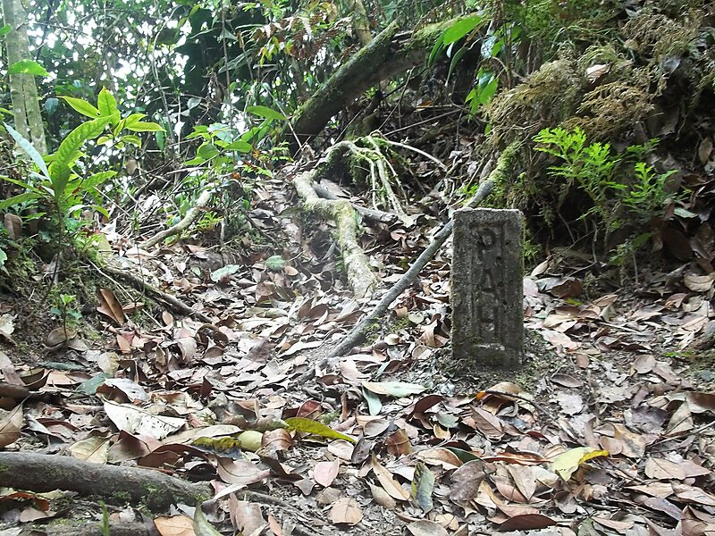
There are three hiking routes to the peak and all of them were built by Malaysian Department of Wildlife and National Parks. Two of them start in Selangor; one at Kuala Pangsoon in Hulu Langat and another at Kampung Kemensah in Gombak. The third path originates from Bukit Tinggi in Bentong, Pahang. Genting Highlands is visible at night from the peak. On the Kuala Pangsoon rout, the climb involves a two-hour hike on a very steep road, then an optional stop at "Camp Lolo", and after that there is a six-hour push to the peak, and a four-hour trek to the ground.
Source: Wikipedia
More Information and Contact
Add Mount Nuang to Your Trip
Create a detailed travel itinerary with smart routing, time estimates, and everything you need for a perfect trip.