Riverfront Park
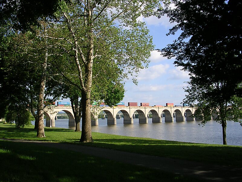
Riverfront Park is a public park in Harrisburg, Pennsylvania that spans beside the Susquehanna River.
park
Samuel Sonne / CC BY-SA 2.5

Riverside Hotel

Riverfront Park
2h

Corner Café
45 min
Riverside Hotel
Add Riverfront Park to Your Trip
Create a detailed travel itinerary with smart routing, time estimates, and everything you need for a perfect trip.
3M+ downloads · 4.6 stars · 15 years of trip planning


More Information and Contact
Address 180 Reily St, Harrisburg 17102, United States
Coordinates 40°16'15.076" N, 76°53'36.241" W
Riverside Hotel
Riverfront Park
2h
Corner Café
45 min
Riverside Hotel
Add Riverfront Park to Your Trip
Create a detailed travel itinerary with smart routing, time estimates, and everything you need for a perfect trip.
3M+ downloads · 4.6 stars · 15 years of trip planning