
Salem-Shotwell Covered Bridge
The Salem-Shotwell Covered Bridge, also known as the Pea Ridge Covered Bridge, is a locally owned wooden covered bridge that spans Rocky… 了解更多…


Salem-Shotwell Covered Bridge – 添加到你的旅行
创建详细的旅行行程,包含智能路线、时间预估,以及你打造完美旅行所需的一切。




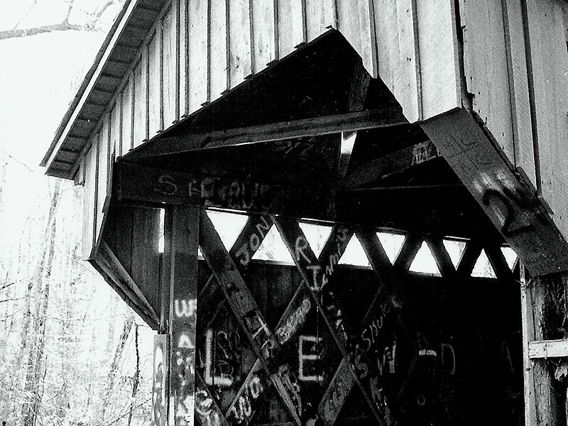
The Salem-Shotwell Covered Bridge, also known as the Pea Ridge Covered Bridge, is a locally owned wooden covered bridge that spans Rocky Brook in Lee County, Alabama, United States. It is located halfway down Park Road at Opelika Municipal Park, which is off North 5th Street in the city of Opelika. Coordinates are 32°39′33.46″N 85°22′52.94″W.
Originally built in 1900, the 43-foot bridge is a Town Lattice truss construction over a single span. Its WGCB number is 01-41-B, formerly 01-41-04. The bridge was listed on the Alabama Register of Landmarks and Heritage on January 25, 1977. It was destroyed by a fallen tree in 2005 at its original location near Salem, then rebuilt in 2007 at Opelika Municipal Park. The bridge is maintained by the Opelika Kiwanis Club and the City of Opelika.
Source: Wikipedia
更多信息与联系方式
Salem-Shotwell Covered Bridge – 添加到你的旅行
创建详细的旅行行程,包含智能路线、时间预估,以及你打造完美旅行所需的一切。