Steigerkopf
The Steigerkopf, also colloquially called the Schänzel, near Edenkoben in the county of Südliche Weinstraße in the German state of… Read more…
peak
myself / CC BY-SA 3.0

Riverside Hotel

Steigerkopf
2h

Corner Café
45 min
Riverside Hotel
Add Steigerkopf to Your Trip
Create a detailed travel itinerary with smart routing, time estimates, and everything you need for a perfect trip.
3M+ downloads · 4.6 stars · 15 years of trip planning


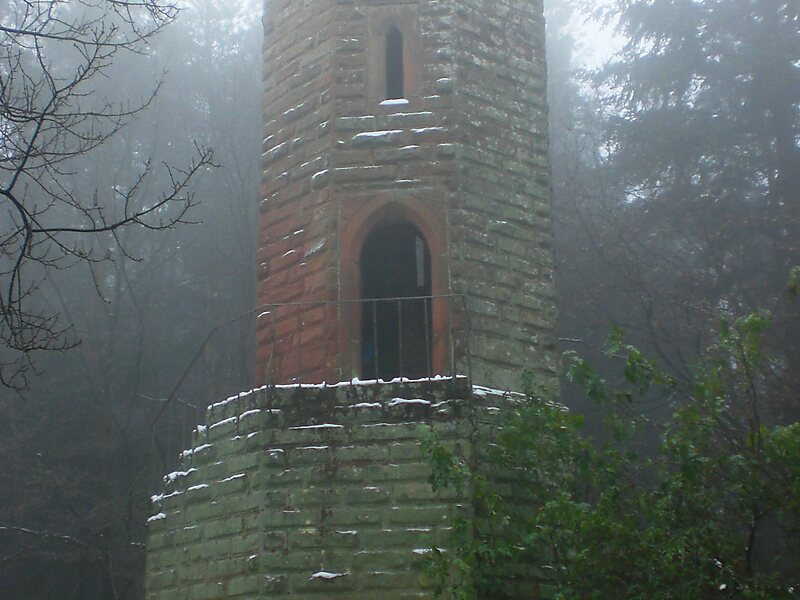
The Steigerkopf, also colloquially called the Schänzel, near Edenkoben in the county of Südliche Weinstraße in the German state of Rhineland-Palatinate, is a mountain, 613.6 m above sea level, in the Palatine Forest. At the summit, which lies on the territory of Gommersheim, is the Schänzel tower.
Source: Wikipedia
More Information and Contact
Wikipedia en.wikipedia.org/wiki/Steigerkopf
Address 67480, Germany
Coordinates 49°17'49.493" N, 8°1'34.413" E
Riverside Hotel
Steigerkopf
2h
Corner Café
45 min
Riverside Hotel
Add Steigerkopf to Your Trip
Create a detailed travel itinerary with smart routing, time estimates, and everything you need for a perfect trip.
3M+ downloads · 4.6 stars · 15 years of trip planning