



Straßensperre Bus de Vela
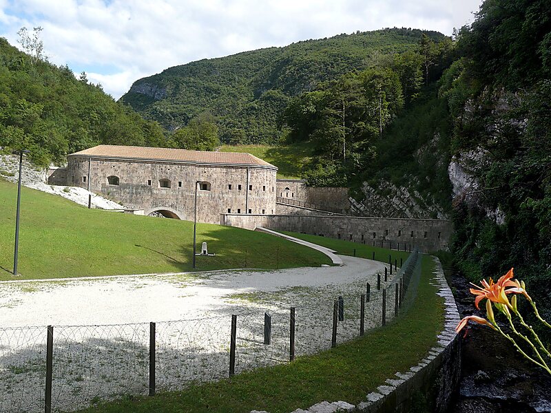
19th-century Austro-Hungarian fortification and museum built between 1860 and 1861. It served as a strategic barrier to protect the Adige Valley and the railway line through the Vela gorge. Weiterlesen…


Straßensperre Bus de Vela – Zu deiner Reise hinzufügen
Erstelle eine detaillierte Reiseroute mit intelligenter Routenführung, Zeitschätzungen und allem, was du für eine perfekte Reise brauchst.




Built between 1860 and 1861, this Austro-Hungarian fortification was designed to control the access route through the Vela gorge. It functioned as a strategic barrage within the larger Fortezza di Trento defensive network, protecting the Adige Valley and the local railway line from potential invasions. The structure is a significant example of 19th-century military architecture.
The site has been restored and currently operates as a museum. It is managed by the Fondazione Museo storico del Trentino and holds the European Heritage Label for its historical and cultural significance.
Weitere Informationen & Kontakt
Straßensperre Bus de Vela – Zu deiner Reise hinzufügen
Erstelle eine detaillierte Reiseroute mit intelligenter Routenführung, Zeitschätzungen und allem, was du für eine perfekte Reise brauchst.

