Mały Płock

Lokaler NameMały Płock
LageWoiwodschaft Podlachien, Polska

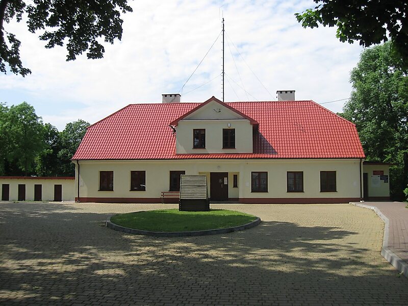
Mały Płock is a village in Kolno County, Podlaskie Voivodeship, in north-eastern Poland. It is the seat of the gmina called Gmina Mały Płock. It lies approximately 14 kilometres south-east of Kolno and 80 km west of the regional capital Białystok.

The village has a population of 1,051.

Tags Dorf
Download Download Mehr erfahren
 

Mehr Informationen und Kontakt

Wikipedia https://en.wikipedia.org/wiki/Mały_Płock

Koordinaten 53°18'31.579" N 22°1'32.717" E

Tripomatic - Ein Reiseführer in Ihrer Tasche

Kostenlos downloaden und im Handumdrehen deine Reise planen
Oder suchen Sie einfach nach Tripomatic im App Store oder bei Google Play.
Tripomatic Karten Die weltweit erste Karten-App für Reisende
App benutzen Nicht jetzt