
Col du Télégraphe
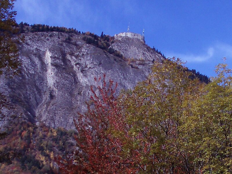
Col du Télégraphe is a mountain pass in the French Alps situated above the Maurienne valley between the eastern end of the massif d'Arvan… Read more…


Add Col du Télégraphe to Your Trip
Create a detailed travel itinerary with smart routing, time estimates, and everything you need for a perfect trip.




Col du Télégraphe is a mountain pass in the French Alps situated above the Maurienne valley between the eastern end of the massif d'Arvan-Villards and the massif des Cerces.
The pass links Saint-Michel-de-Maurienne to the north and Valloire to the south, as well as forming an access point to the col du Galibier via its north face.
The route is often used during the ascent to Col du Galibier in the Tour de France, and is thus popular with cyclists.
Source: Wikipedia
More Information and Contact
Add Col du Télégraphe to Your Trip
Create a detailed travel itinerary with smart routing, time estimates, and everything you need for a perfect trip.

