



Independence Rock State Historic Site
Independence Rock is a large granite rock, approximately 130 feet high, 1,900 feet long, and 850 feet wide, which is in southwestern… Read more…


Independence Rock State Historic Site – Add to Your Trip
Create a detailed travel itinerary with smart routing, time estimates, and everything you need for a perfect trip.




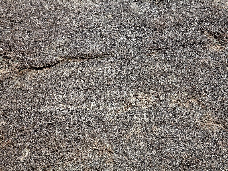
Independence Rock is a large granite rock, approximately 130 feet high, 1,900 feet long, and 850 feet wide, which is in southwestern Natrona County, Wyoming along Wyoming Highway 220. During the middle of the 19th century, it formed a prominent and well-known landmark on the Oregon, Mormon, and California emigrant trails. Many of these emigrants carved their names on it, and it was described by early missionary and explorer Father Pierre-Jean De Smet in 1840 as the Register of the Desert. The site was designated a National Historic Landmark on January 20, 1961 and is now part of Independence Rock State Historic Site, owned and operated by the state of Wyoming.
Source: Wikipedia
More Information and Contact
Independence Rock State Historic Site – Add to Your Trip
Create a detailed travel itinerary with smart routing, time estimates, and everything you need for a perfect trip.

