



Vihren
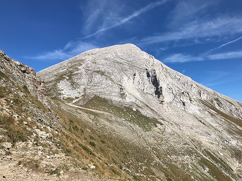
Vihren is the highest peak of Bulgaria's Pirin Mountains. Reaching 2,914 metres, it is Bulgaria's second and the Balkans' third highest,… Read more…
Vihren – Planning a Trip?
Build your day-by-day itinerary in the Tripomatic app.


Vihren is the highest peak of Bulgaria's Pirin Mountains. Reaching 2,914 metres, it is Bulgaria's second and the Balkans' third highest, after Musala and Mount Olympus. Although Vihren is deprived of lakes and streams due to the karst topography, a number of Pirin's lakes are located around the peak, as is Europe's southernmost glacial mass, the Snezhnika glacieret. Until 1942 Vihren was known as Eltepe; it was also called Buren and Malnienosets. The UNESCO World Heritage Site Pirin National Park was originally known as the Vihren National Park. Vihren is included in the 100 Tourist Sites of Bulgaria under No. 2.
Source: Wikipedia
More Information and Contact


Vihren – Add to Your Trip
Create a detailed travel itinerary with smart routing, time estimates, and everything you need for a perfect trip.



