Erzsébetváros is the 7th district of Budapest, situated on the Pest side of the Danube. The inner half of the district was the historic Jewish quarter of Pest. The Dohány Street Synagogue, the largest functioning synagogue in Europe, is located in this district. Currently it is the most densely populated district of Budapest with 29,681.3 person per km2. In 1910 Erzsébetváros had 152,454 inhabitants. During the socialist era Erzsébetváros's population decreased rapidly, because young people and families moved to the newer "panelized" boom districts. Gentrification and recovery started in the middle of the 2000s.
Download Download See more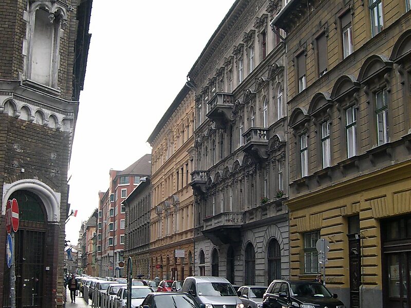
Wikipedia https://en.wikipedia.org/wiki/Erzsébetváros
Coordinates 47°30'7.919" N 19°4'30.553" E
