Afsluitdijk
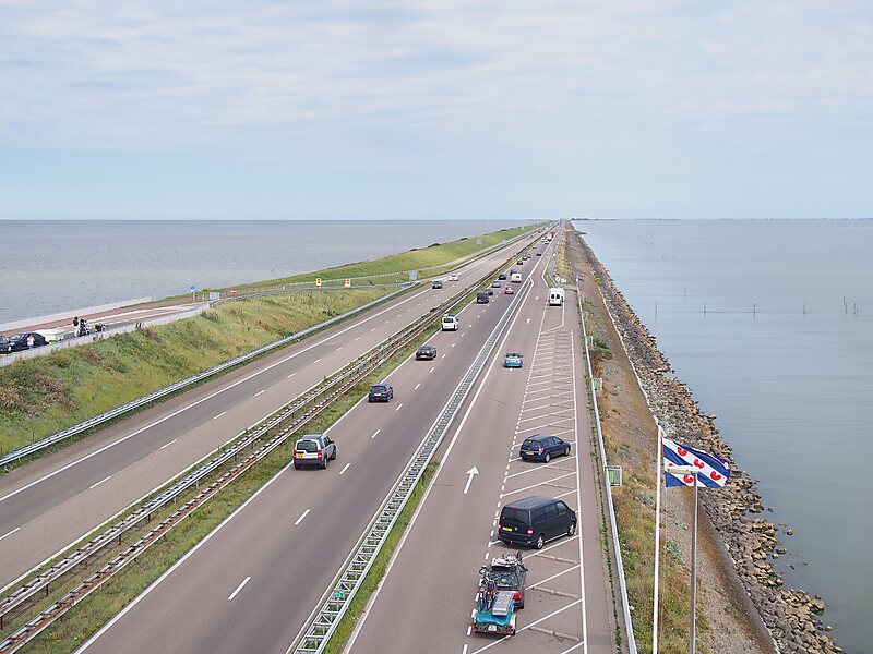
The Afsluitdijk is a major dam and causeway in the Netherlands. It was constructed between 1927 and 1932 and runs from Den Oever in North… Read more…


Add Afsluitdijk to Your Trip
Create a detailed travel itinerary with smart routing, time estimates, and everything you need for a perfect trip.


The Afsluitdijk is a major dam and causeway in the Netherlands. It was constructed between 1927 and 1932 and runs from Den Oever in North Holland province to the village of Zurich in Friesland province, over a length of 32 kilometres and a width of 90 metres, at an initial height above Amsterdam Ordnance Datum of between 6.7 metres along the section at Friesland, and 7.4 metres where it crosses the deep channel of the Vlieter. The height at the greater sea depths west of Friesland was required to be a minimum of 7 metres everywhere when originally constructed.
Increases to the height of the Afsluitdijk have been made several times since 1958, when height increases were undertaken during regular maintenance periods as a result of the North Sea Flood of 1953, with the section between the Stevinsluizen and Lorentzsluizen sluice complexes seeing the crest level raised to 7.8 metres.
Source: Wikipedia
More Information and Contact
Tours & Activities
Add Afsluitdijk to Your Trip
Create a detailed travel itinerary with smart routing, time estimates, and everything you need for a perfect trip.