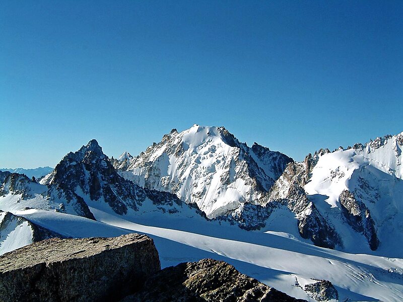
The Aiguille d'Argentière is a mountain in the Mont Blanc massif on the border between France and Switzerland. The second highest summit of the Aiguille d'Argentière is the prominent rock-tower Flèche Rousse southeast of the main-summit.
The first ascent of the mountain was by a British party comprising Edward Whymper and A. Reilly with guides Michel Croz, M. Payot, H. Charlet on 15 July 1864. The route they took was via the west flank and the north-west ridge.
Wikipedia https://en.wikipedia.org/wiki/Aiguille_d'Argentière
Address 1944, Switzerland
Coordinates 45°57'34.412" N 7°1'11.901" E