Aiguille de Chambeyron
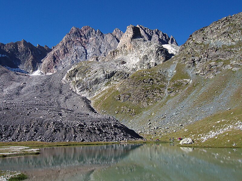
Aiguille de Chambeyron is a mountain of the Cottian Alps and is the highest mountain of Alpes-de-Haute-Provence in southeast France.
climbingpeak

Riverside Hotel

Aiguille de Chambeyron
2h

Corner Café
45 min
Riverside Hotel
Add Aiguille de Chambeyron to Your Trip
Create a detailed travel itinerary with smart routing, time estimates, and everything you need for a perfect trip.
3M+ downloads · 4.6 stars · 15 years of trip planning


More Information and Contact
Address 04530, France
Coordinates 44°32'51.312" N, 6°51'24.257" E
Riverside Hotel
Aiguille de Chambeyron
2h
Corner Café
45 min
Riverside Hotel
Add Aiguille de Chambeyron to Your Trip
Create a detailed travel itinerary with smart routing, time estimates, and everything you need for a perfect trip.
3M+ downloads · 4.6 stars · 15 years of trip planning