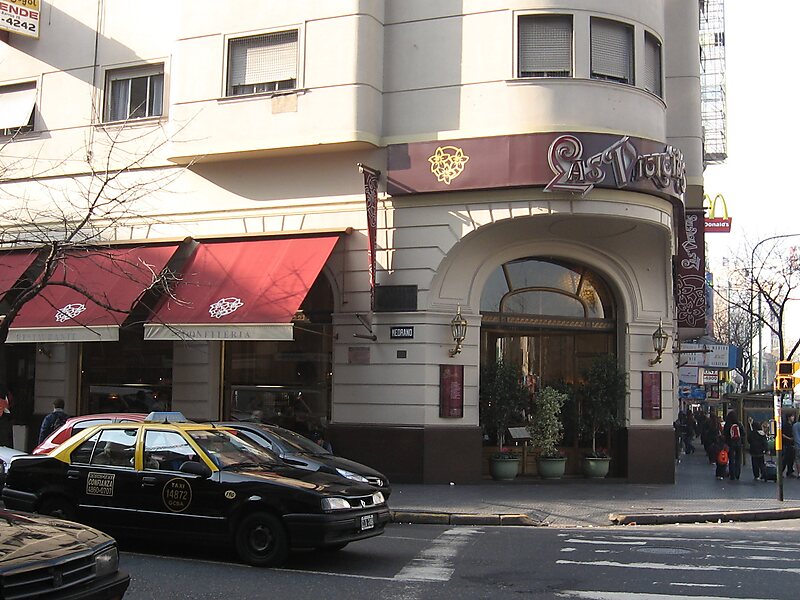
Almagro is a mostly middle-class barrio or neighbourhood of Buenos Aires, Argentina.
The neighbourhood is delimited by La Plata avenue and Río de Janeiro street to the west, Independencia avenue to the south, Sánchez de Bustamante, Sánchez de Loria and Gallo streets to the east, and Córdoba/Estado de Israel avenues to the north.
Almagro features strong commercial activity along its avenues, and has a high population density due to the many high-rise buildings erected along the railway line. The sectional government of the 6th circuit, which includes Almagro and Boedo, is located on Díaz Vélez avenue opposite Centenario park.
Wikipedia https://en.wikipedia.org/wiki/Almagro,_Buenos_Aires
Address 3643 Calle Lavalle, Ciudad Autónoma de Buenos Aires C1190AAS, Argentina
Coordinates -34°36'0" N -58°25'0" E
