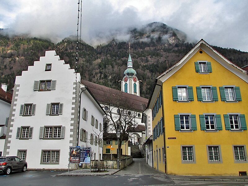
Altdorf is a historic town and municipality in Switzerland. It is the capital of the Swiss canton of Uri.
The municipality covers an area of 10.21 square kilometres and is located about 2 kilometres south of the mouth of the Reuss, which flows into the Lake Lucerne, here called the Urnersee. The town Altdorf lies at an altitude of 458 metres above sea level on the right, eastern bank of the Reuss, a flat, alluvial land of up to 2 kilometres diameter between otherwise steep and high Alpine mountains of around 3,000 metres elevation, but the municipality also covers the Alpine pasture landscape of Eggbergen about 1,000 metres above Altdorf.
It is also the junction towards to the two passes Saint Gotthard to the south, a major north–south axis through the Alps, and the Klausen Pass to the east.
Wikipedia https://en.wikipedia.org/wiki/Altdorf,_Uri
Official Website https://www.altdorf.ch/
Coordinates 46°52'55.464" N 8°38'29.012" E