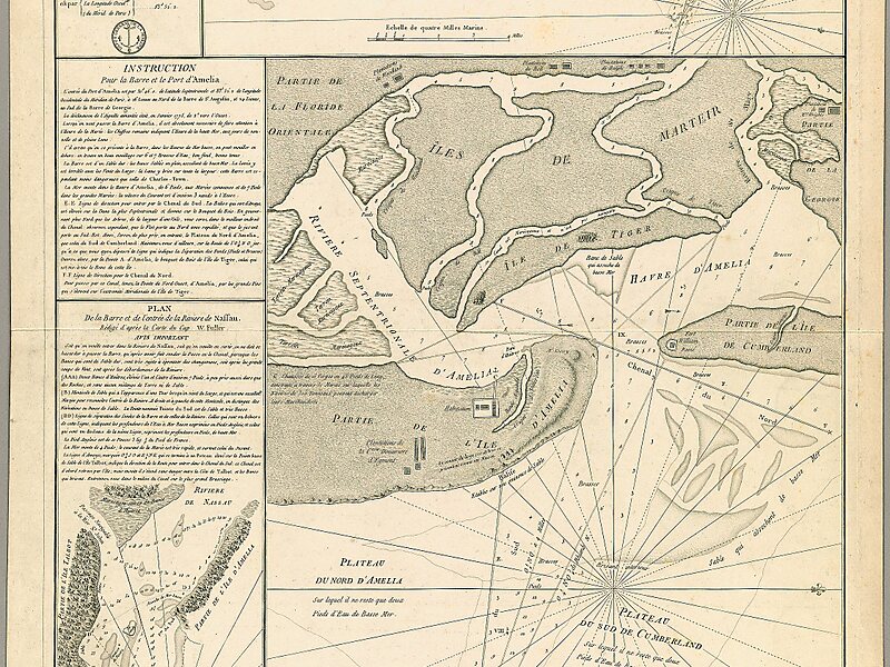
Amelia Island is a part of the Sea Islands chain that stretches along the East Coast of the United States from South Carolina to Florida; it is the southernmost of the Sea Islands, and the northernmost of the barrier islands on Florida's Atlantic coast. Lying in Nassau County, Florida, it is 13 miles long and approximately 4 miles wide at its widest point. The communities of Fernandina Beach, Amelia City, and American Beach are located on the island.
Download Download See more
Wikipedia https://en.wikipedia.org/wiki/Amelia_Island
Coordinates 30°36'27.856" N -81°27'36.328" E