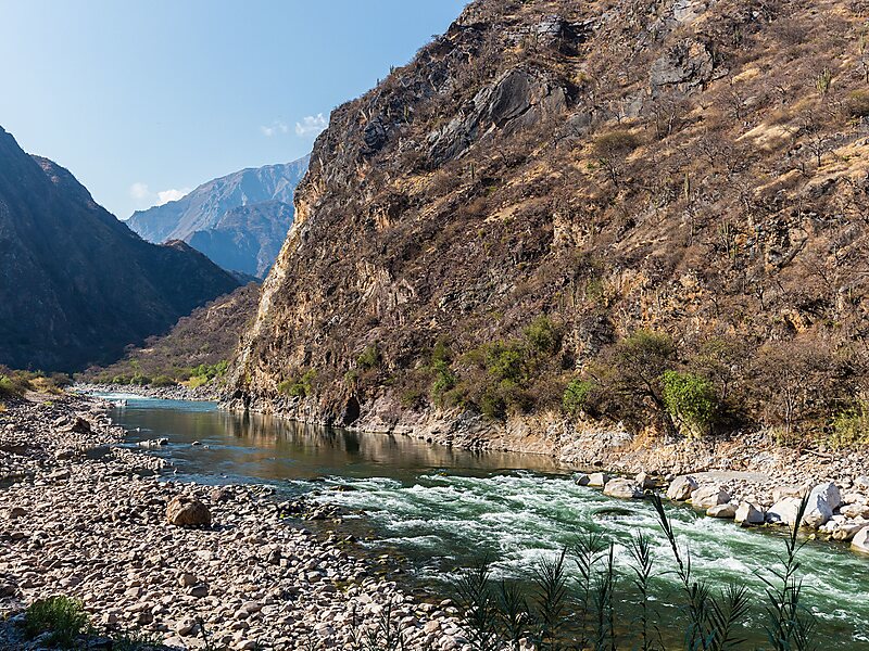
The Apurímac River rises from glacial meltwater of the ridge of the Mismi, a 5,597-metre-high mountain in the Arequipa Province in the south-western mountain ranges of Peru, 10 km from the village Caylloma, and less than 160 km from the Pacific coast. It flows generally northwest past Cusco in narrow gorges with depths of up to 3,000 m, twice as deep as the Grand Canyon, its course interrupted by falls and rapids. Of the six attempts so far to travel the Apurímac in its full length, only two have been successful.
After 730 kilometres, the Apurímac joins the Mantaro River and becomes the Ene River, 440 m above sea level; then after joining the Perené River at 330 m above sea level, it becomes the Tambo River; when it joins the Urubamba at 280 m above sea level the river becomes the Ucayali, which is the main headstream of the Amazon.
Wikipedia https://en.wikipedia.org/wiki/Apurímac_River
Coordinates -13°31'6.014" N -72°39'6.759" E