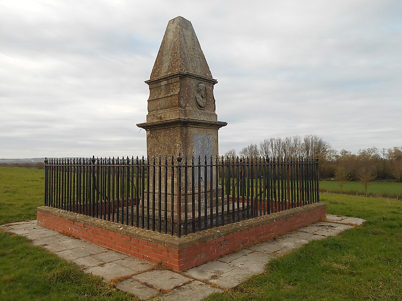
Athelney is a village located between the villages of Burrowbridge and East Lyng in the Sedgemoor district of Somerset, England. The name is believed to be derived from the Old English æþeling meaning "prince" + -ey meaning "isle". The village is best known for once being the fortress hiding place of King Alfred the Great, from where he went on to defeat the Great Heathen Army at the Battle of Edington in May 878.
Download Download See moreWikipedia https://en.wikipedia.org/wiki/Athelney
Coordinates 51°3'20.848" N -2°56'2.385" E