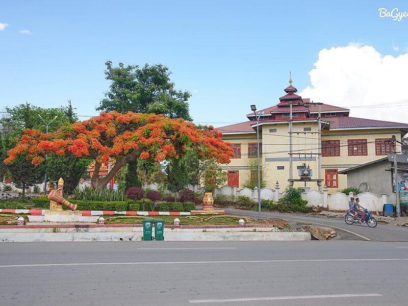
Aungban is a major trading town in the southern Shan State of Myanmar that supplies agricultural yield to the rest of the country. It is located in Kalaw Township which is part of Taunggyi District. It lies on the Thazi-Kyaingtong road at an elevation of 4,219 feet above sea level.
As of September 2019, its recorded population was 30,515. Due to its location in agricultural villages, it is considered a junction town. The majority of agricultural products, mainly potato, garlic, ginger, cabbage, tomato, cauliflower, avocado, orange, and tea-leaves, are collected from nearby towns and villages by traders and distributed to other parts of the country, especially Yangon, Mandalay, Naypyitaw, Nyaung U, Tachileik, Kayin and Mon.
Wikipedia https://en.wikipedia.org/wiki/Aungban
Coordinates 20°39'35.924" N 96°37'58.628" E
