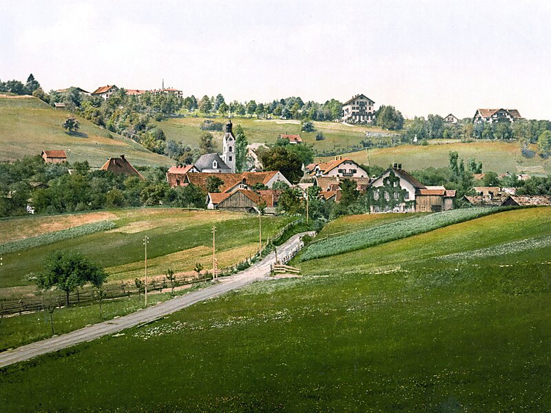
Bad Kohlgrub is a German municipality in the district of Garmisch-Partenkirchen, in Bavaria. It lies 12 kilometres west of Murnau am Staffelsee and 8 kilometres north of Oberammergau, and is connected to both by the Ammergau Railway.
Skiing facilities include 4 ski lifts, 4 pistes and 30 kilometres of cross-country skiing trails. A chairlift south of the town leads up to the Hörnlehütte below the summit of the Hörnle mountain.
Wikipedia https://en.wikipedia.org/wiki/Bad_Kohlgrub
Coordinates 47°39'57.311" N 11°3'6.85" E
