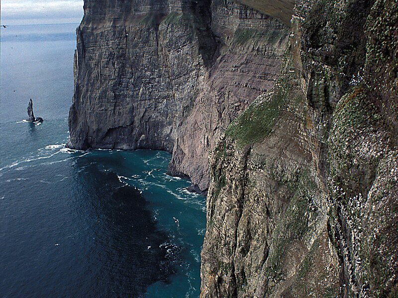
Bear Island is the southernmost island of the Norwegian Svalbard archipelago. The island is located in the western part of the Barents Sea, approximately halfway between Spitsbergen and the North Cape.
Bear Island was discovered by the Dutch explorers Willem Barents and Jacob van Heemskerk on 10 June 1596. It was named after a polar bear that was seen swimming nearby. The island was considered terra nullius until the Spitsbergen Treaty of 1920 placed it under Norwegian sovereignty.
Despite its remote location and barren nature, the island has seen commercial activities in past centuries, such as coal mining, fishing and whaling.
Wikipedia https://en.wikipedia.org/wiki/Bear_Island_(Norway)
Coordinates 74°26'21.053" N 19°1'42.225" E