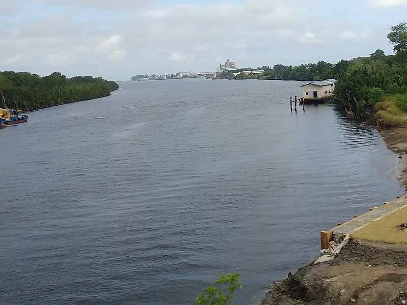
Belait District, or simply Belait, is the largest as well as the westernmost district in Brunei. It has an area of 2,727 square kilometres and the population of 69,062 as of 2016. The administrative town is Kuala Belait, located at the mouth of the Belait River. The district is commonly associated with the oil and gas industry of the country, mainly concentrated near the town of Seria.
Download Download See moreWikipedia https://en.wikipedia.org/wiki/Belait_District
Coordinates 4°27'39.828" N 114°27'23.919" E